
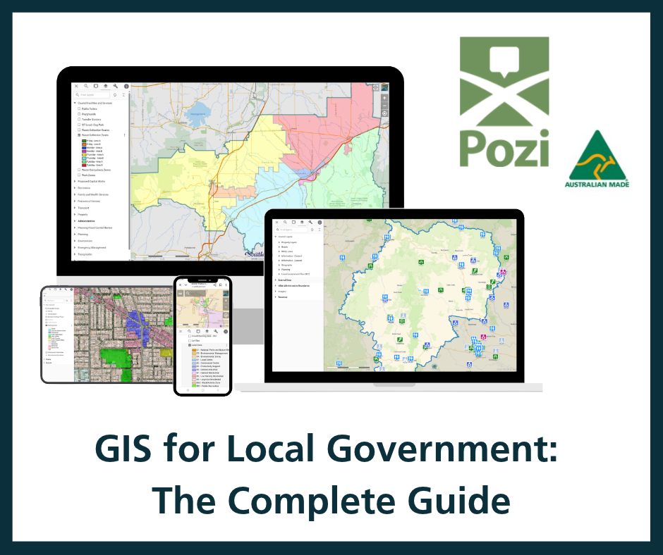
Geographic Information Systems (GIS) help councils understand and manage the places they serve. Almost everything a council does happens somewhere: a property, a road, a park, a planning zone. GIS is how a council captures, maps and makes sense of that spatial information, and increasingly, how it shares that information with staff and community.
This guide covers what GIS means for local government, what councils use it for, the difference between desktop and web GIS, and what to look for when choosing a platform.

What is GIS in a local government context?
For a council, GIS is the system that ties information to location. Property records, asset registers, planning overlays, environmental data and community facilities all become layers on a map that can be viewed, queried and combined. That turns scattered records into a single, spatial picture of the area.

What councils use GIS for
- Property and rates: locating parcels, ownership boundaries and rating information.
- Asset management: mapping roads, drainage, buildings and other assets for planning and maintenance.
- Planning and development: viewing zones, overlays and constraints when assessing applications.
- Community services: sharing maps of facilities, waste collection, and works with residents.
- Environmental management: tracking vegetation, waterways, bushfire risk and other natural features.

Desktop GIS versus web GIS
Desktop GIS, such as QGIS, is where specialists build maps and run analysis. Web GIS publishes those maps to a browser so anyone in the council can use them without specialist software. Most councils need both: desktop for the technical work, web for sharing it widely.

We cover this in more depth in our guide: What is web GIS?
What to look for in a GIS platform for councils
- Ease of use: can non-specialists actually use it, or does it need training?
- Integration: does it work with the council’s existing systems and with QGIS?
- Open standards: is the data portable, or locked into one vendor’s format?
- Support: who helps when something goes wrong, and where are they based?
- Data governance: where is the data hosted, and under whose laws?
- Value: is the cost proportionate to a council budget?
Where Pozi fits

Pozi is a user-friendly, web-based GIS platform, accessible on any device, that fills the gap between complex desktop GIS applications and staff who want to access mapping data. It removes the complexity that desktop GIS brings, focusing instead on browser-based delivery, ease of use, visualisation and accessibility to GIS data.
Pozi works directly with QGIS, a GIS platform widely used across local government and many other industries. This lets organisations use their existing spatial datasets, map projects, symbology and workflows without duplicating effort. Data and map services developed in QGIS can be published directly to Pozi, giving staff organisation-wide access to current spatial information through a simple web interface.
Beyond internal use, Pozi can also be configured to deliver mapping services to the public, letting councils and organisations share selected spatial information with residents, businesses, developers and other stakeholders. Public-facing maps can provide access to information such as property details, planning and development data, waste collection zones and community facilities, among others. This improves transparency, reduces customer requests, and supports self-service by letting people access location-based information at any time through a standard web browser.
By combining QGIS with a simple, flexible web platform, Pozi makes mapping data easy to access and use, helping organisations get more value from their data while supporting both staff and the wider community.
Explore Pozi’s features or read about why Australian ownership matters here.
Councils use GIS to map and manage property, assets, planning, community services and environmental data, tying information to location so it can be viewed and shared.
Desktop GIS is specialist software for building maps and analysis. Web GIS publishes those maps to a browser so anyone in the council can use them without specialist software.
Key factors are ease of use, integration with existing systems and QGIS, open standards, local support, data governance and value for a council budget.